
Back to products
Android · Tools
Satellite Guidance
Real-time guidance: visualize your coverage and follow an A-B line.
Free · No ads · No in-app purchases
Downloads are not available yet.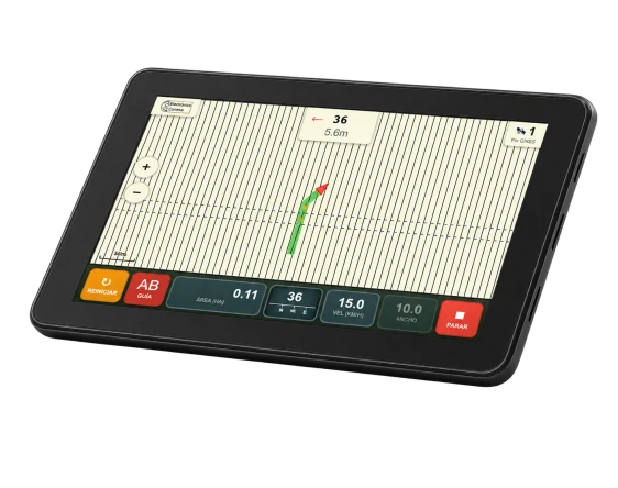
Satellite guidance for field work
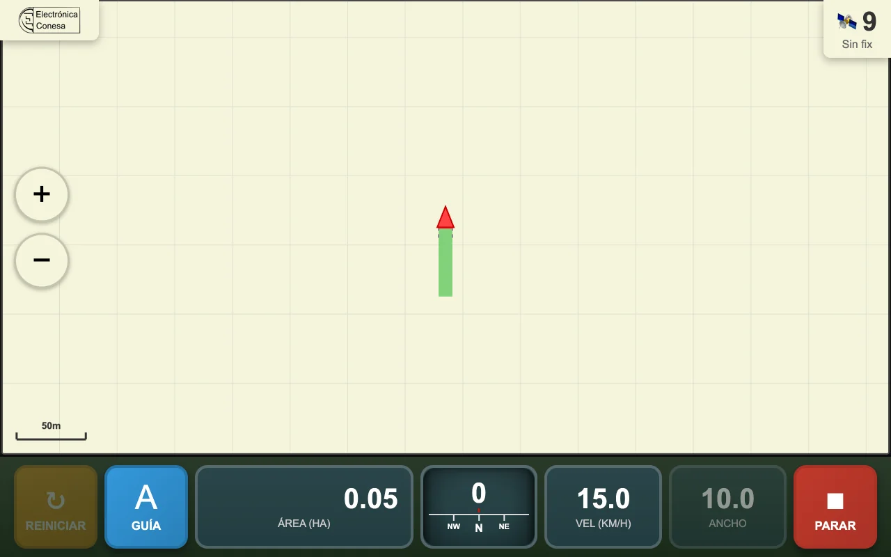
Satellite Guidance shows the tractor's position on the field and paints worked areas green to help avoid overlaps and uncovered strips. It is designed for Android tablets in the cab.
Main features
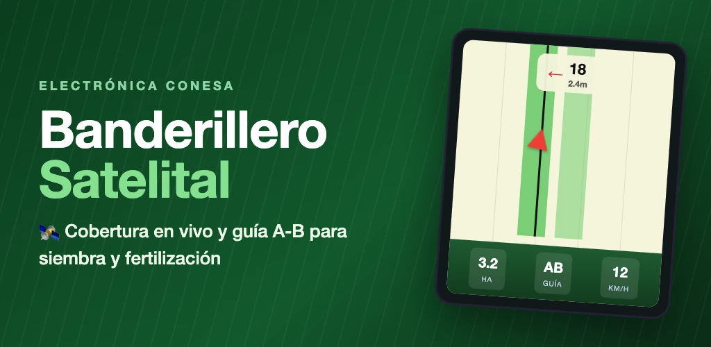
- Live coverage of the area worked.
- Covered area calculated in hectares.
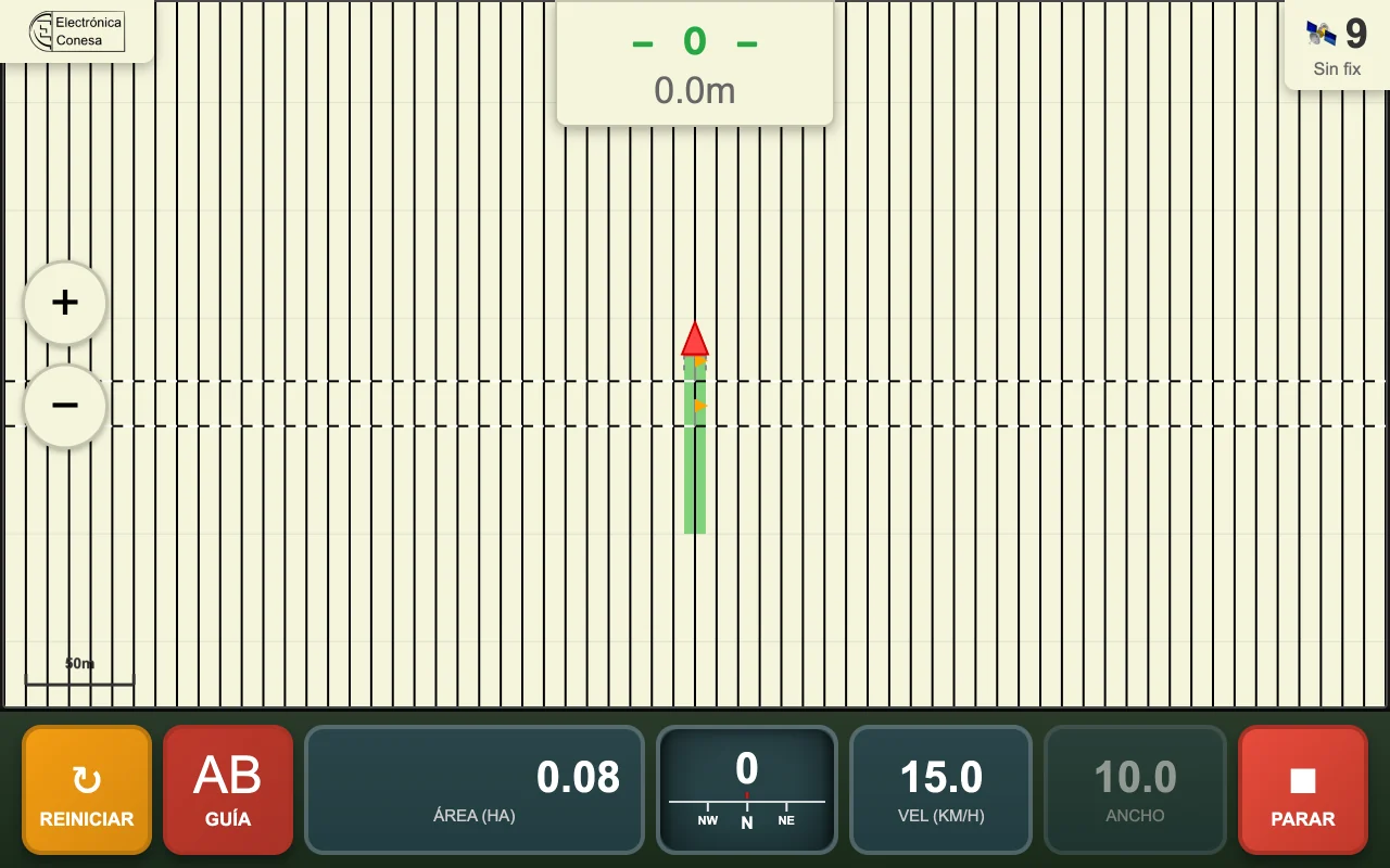
- An A-B guide line with aligned parallel passes.
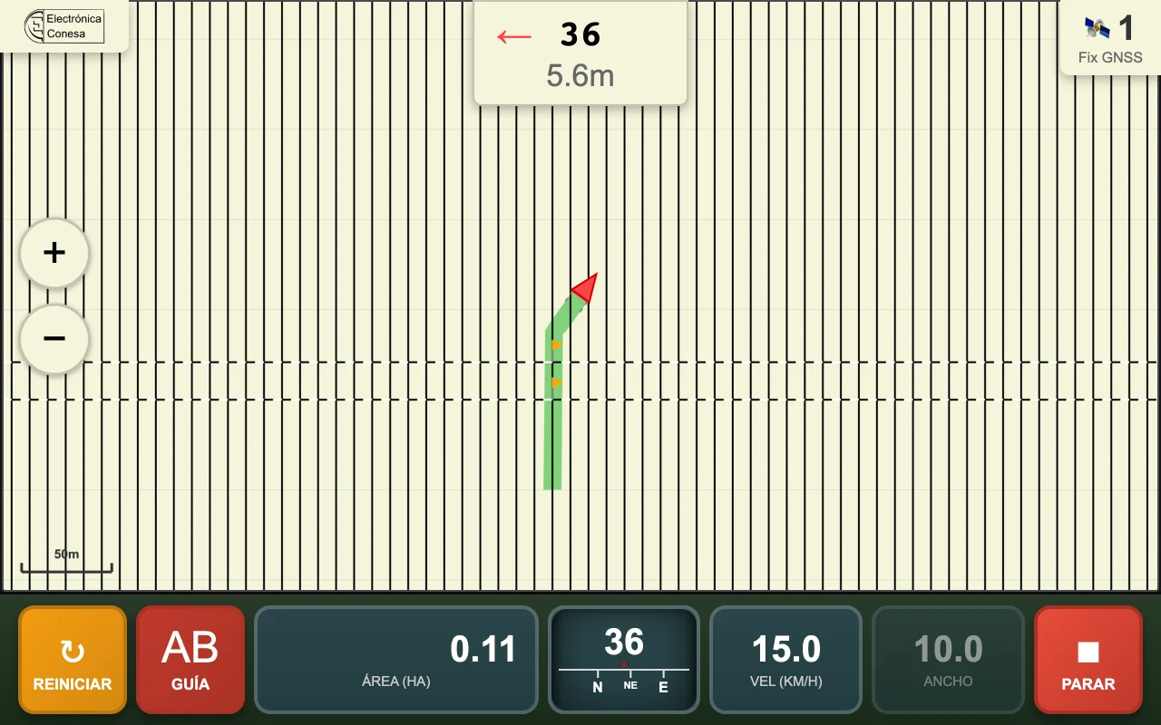
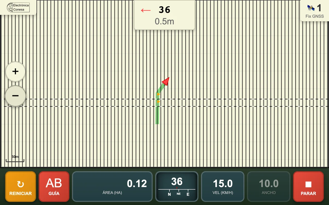
- Steering correction indicator with direction and distance to the ideal pass.
- Adjustable implement width from 1 to 60 meters.
Built for field work
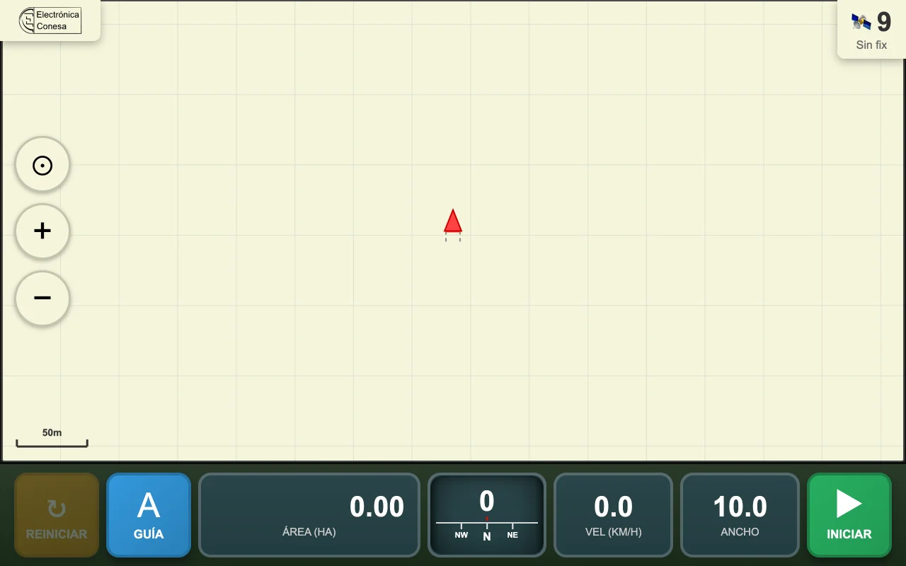
- Speed, heading, satellites and signal quality at a glance.
- Zoom and pan the map while stopped.
- Keeps the screen on while working.
- Connects over Wi-Fi to the GPS/ESP32 equipment; no internet or account required.
- Work is saved on the tablet and data is not sent to a server.
App screenshots
Want to know more?
Contact us about Satellite Guidance.